史春森林財団 JA/EN
July 2 – July 5, 2027 · Hokkaido

Boreal Forest &
SEPLS of Hokkaido

Thinking about SATOYAMA through the Boreal Forests of Hokkaido. Four days and three nights from the Pacific coast to the Sea of Japan side, planned by the Fumiharu Forest Foundation.

Register your interest
Planning by Fumiharu Forest Foundation (a member of IPSI) OECM certified: Forest of Seika (WDPA ID 555781399) OECM certified: Forest of Kamitoyoi (WDPA ID 555889576)
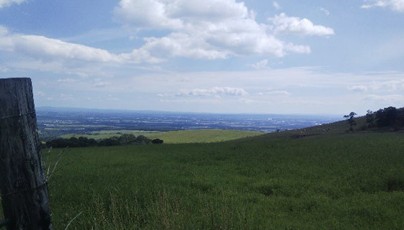
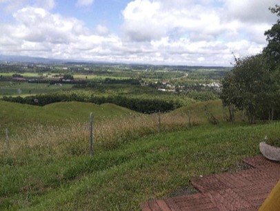
ForestView over the Tokachi Plain

Thinking about SATOYAMA through the Boreal Forests of Hokkaido.

Here, the forest is the means and SATOYAMA is the purpose. Over four days we cross half of Hokkaido, from the Pacific side to the Sea of Japan side, and see how geology over tens of thousands of years, forest history over a thousand years and forest use over a hundred years fit together.

In southern Tokachi, grassland returns again and again because people mow it to sustain livestock farming. Economic activity maintains the landscape and its biodiversity. This is hard to explain in words, so we show it on site.

Japan's biodiversity is not that of a dark, untouched forest. People opened the land into meadows and fields, and many plants and animals, such as the sika deer, increased as a result. Human activity is one element of the ecosystem. Carefully planned timber production can itself be a kind of OECM, and this is the idea the foundation wants to share.
ItineraryFri. July 2 – Mon. July 5, 2027

  • Day 1
    Fri. Jul 2
    Shin-Chitose A.P. → Hidaka → Erimo → HirooThe way the land is used determines the landscape.
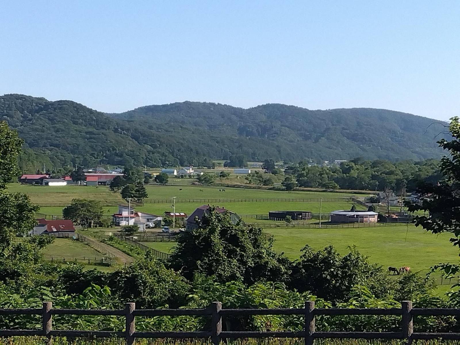
    • Hidaka ExpresswayRacehorse breeding shapes the land. Wooden fences keep the horses in, and the fences themselves shape the view.
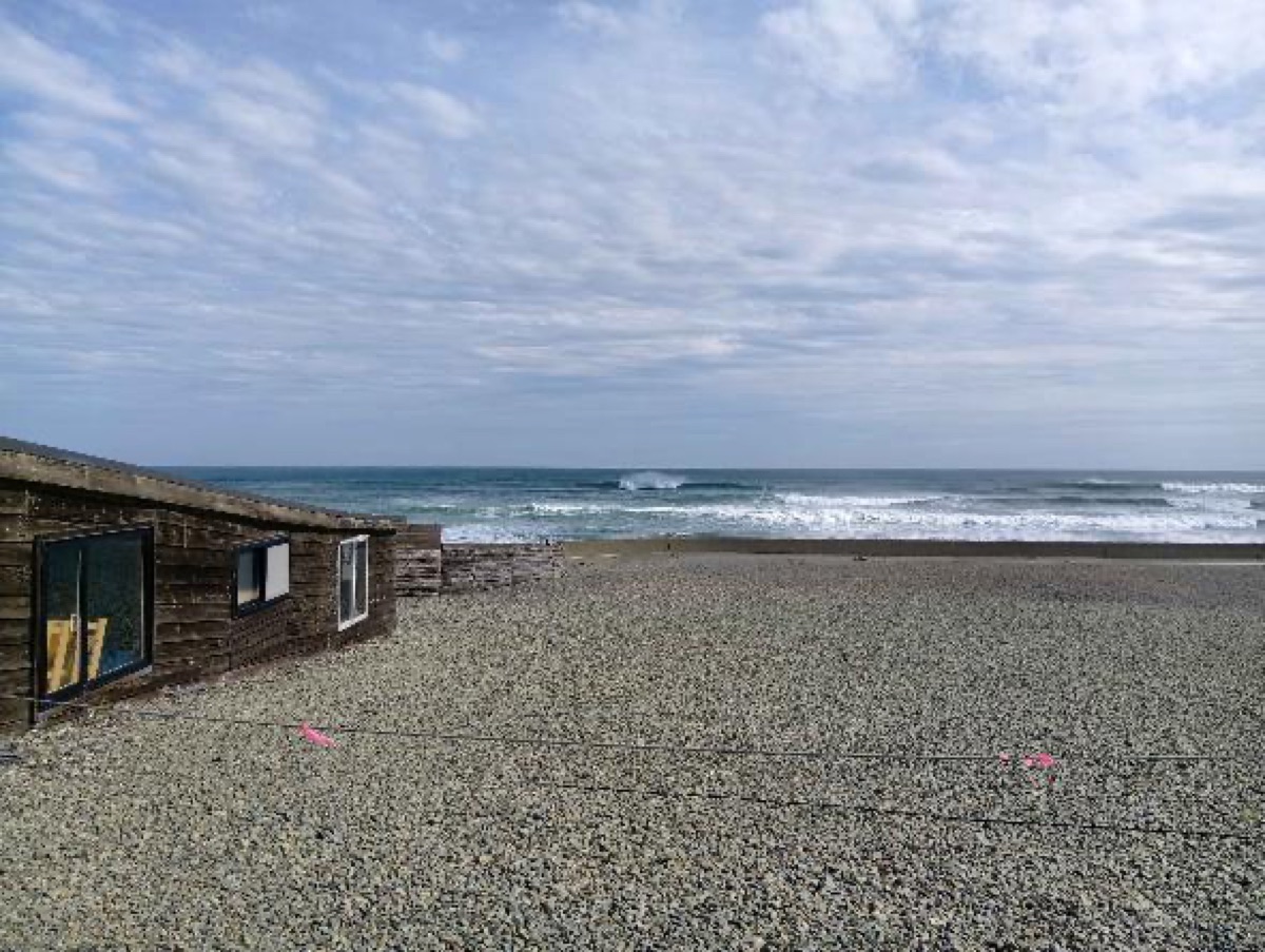
    • Kombu beaches on Route 235Kelp beaches and fishery resources. We show the sea's productivity first.
    • Apoi-dake Geopark Visitor CenterPeridotite and endemic alpine plants, explained by a curator.
    • Cape Erimo and Kaze-no-YakataFeel 25 m/s winds. The history of desertification and re-greening: people broke it, and people restored it.
    • Moyori Forest (Funbe Falls)A salmon hatchery sits just below the forest: the forest and the river support the shore seen that morning.
    Farmland and hills near HidakaSeashore at a kombu beach
  • Day 2
    Sat. Jul 3
    Hiroo → Taiki → Makubetsu → KamishihoroHow forests work and how they become wood.
    • Tsudoi-no-Mori (former Nozuka school)A school reborn as a wood-processing and coworking hub, with a local breakfast and a talk by the forestry contractor.
    • Forest of Kamitoyoi (OECM, 98 ha)Dairy pasture views, forestry designed for continuity with the national park, and timber production with biodiversity.
    • Scenic Cafe ChuruiAn overview of the Tokachi Plain: pasture, cropland and the shelterbelts planted to make farming possible.
    • Forest of Seika (OECM, 265 ha)The heart of the tour. A 3 ha-per-year harvest plan, monitoring, and a live look at the Japanese crayfish, a forest indicator species.
    • Omnis Forest Products CooperativeHow the trees seen that day become products: the timber supply chain.
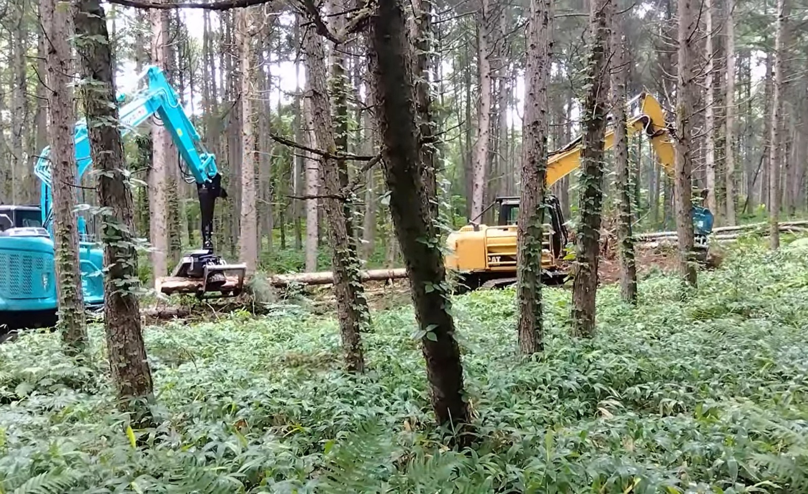
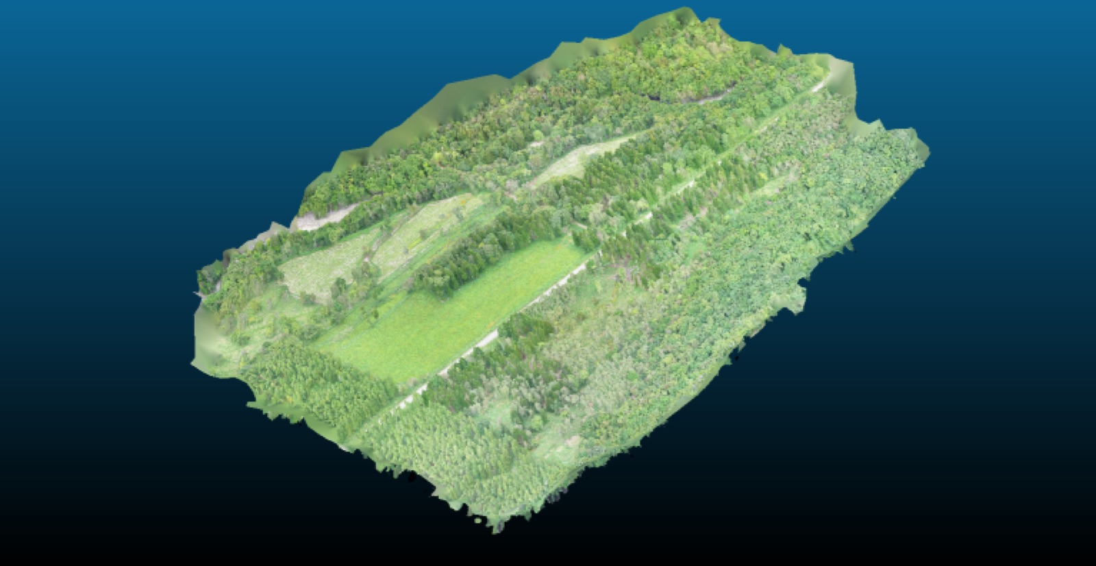
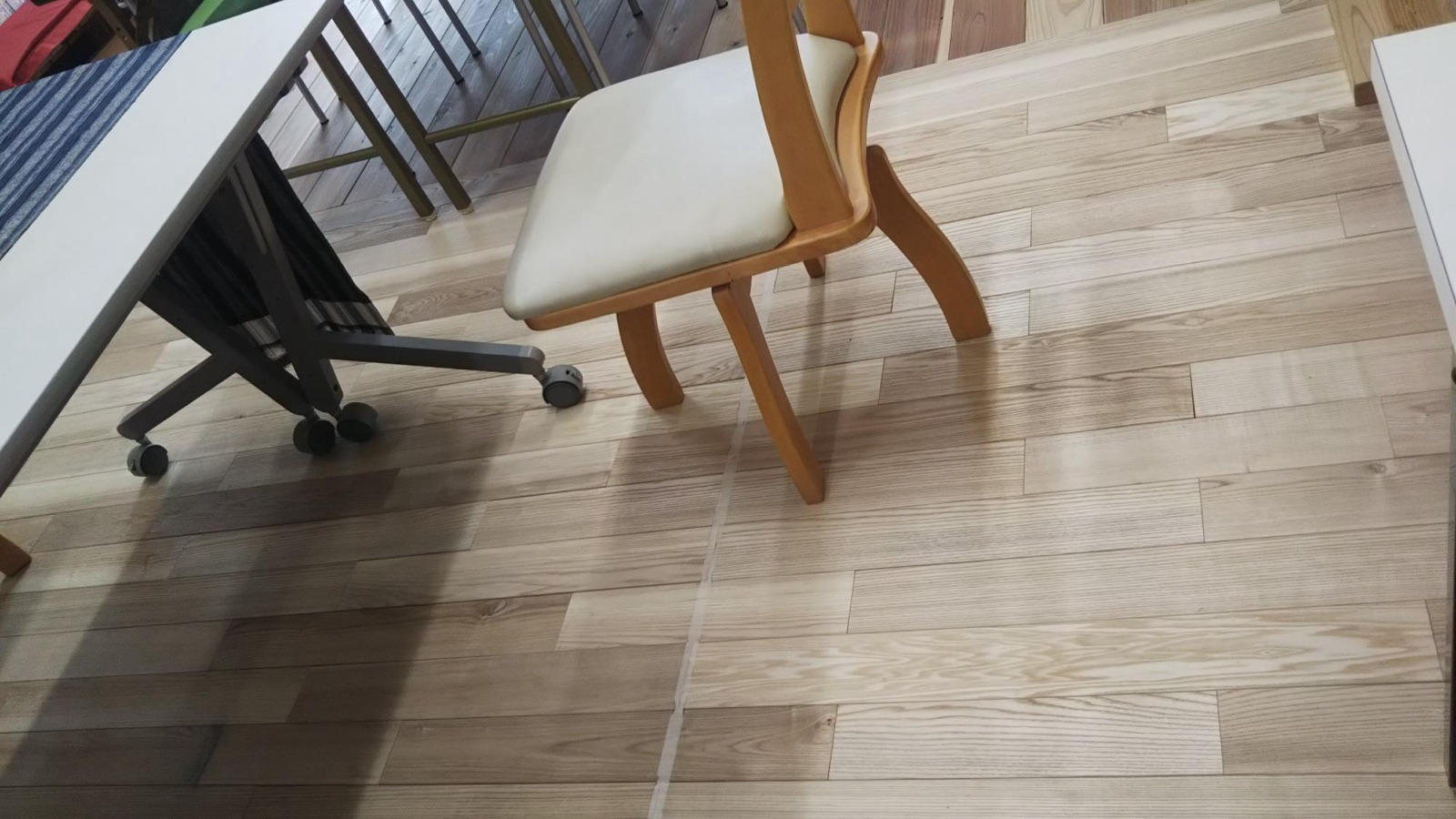
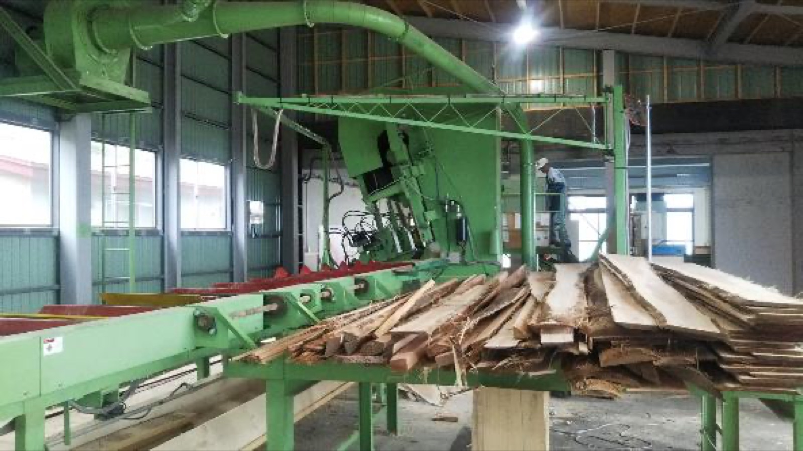
    Forestry harvest in a managed forest3D model of a forestWood flooringSawmillView over the Tokachi PlainStrip-cut mosaic in the forest
  • Day 3
    Sun. Jul 4
    Kamishihoro → Mikuni Pass → Kamikawa → AsahikawaTime scale / forest becomes an economy.
    • Naitai Ranch (about 1,700 ha)Japan's largest public pasture. The key question is asked here: why not just keep the forest?
    • Michi-no-Eki KamishihoroThe town runs its own regional trading company, the ranch terrace and the roadside station: SATOYAMA in practice.
    • Taushubetsu River BridgeA relic of the old timber railway, now sinking into the reservoir: 100 years of forest use.
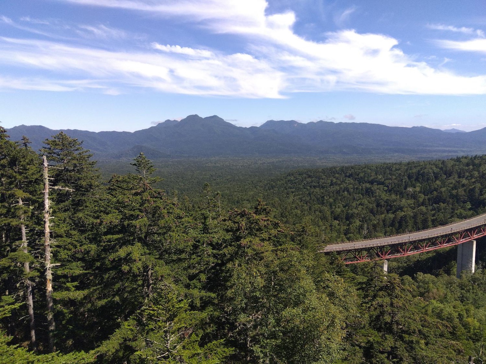
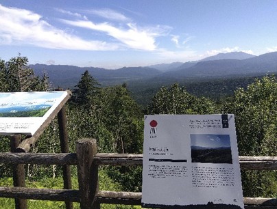
    • Mikuni PassPanorama of a near-primeval northern forest and its natural regeneration.
    • Kamikawa Taisetsu Sake BrewerySea-of-Japan climate and rice paddies. The star is the spring water from the Daisetsuzan range (about 7°C).
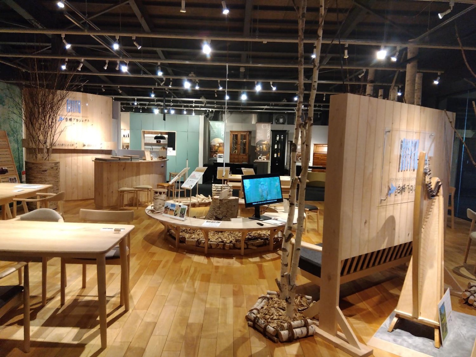
    • Asahikawa Design CenterThe downstream end of the chain, where wood becomes products. English available.
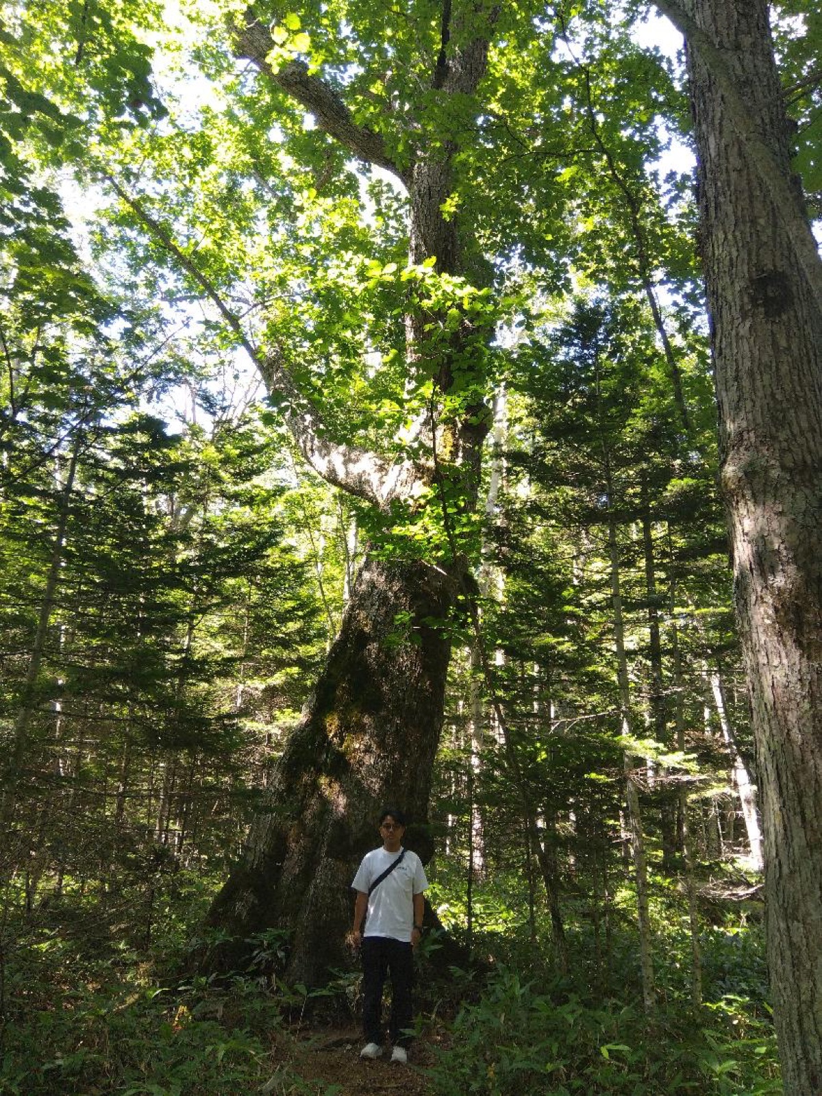
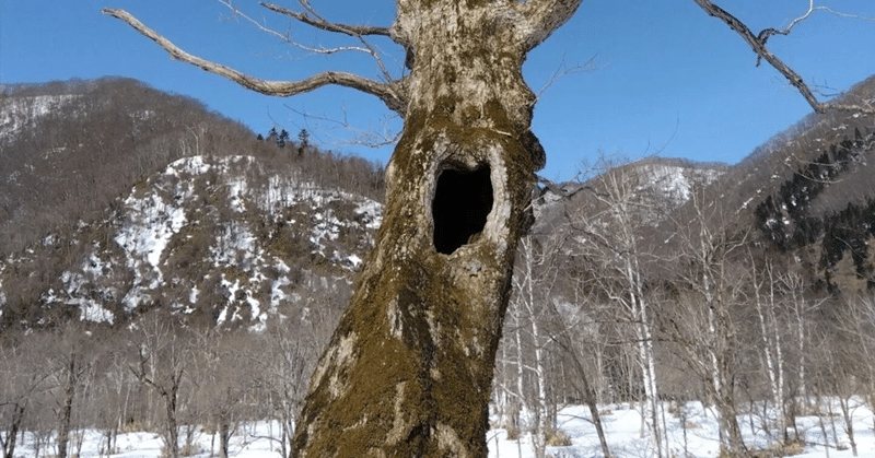
    View from Mikuni PassGiant old treeWood showroomPasture overlooking the plainViewpoint with information boards
  • Day 4
    Mon. Jul 5
    Asahikawa → Shibetsu → Uryu Experimental Forest → Asahikawa A.P.Primeval forest & science.
    • Shibetsu (from the bus)Paddies and cropland, and the sheep town of Shibetsu.
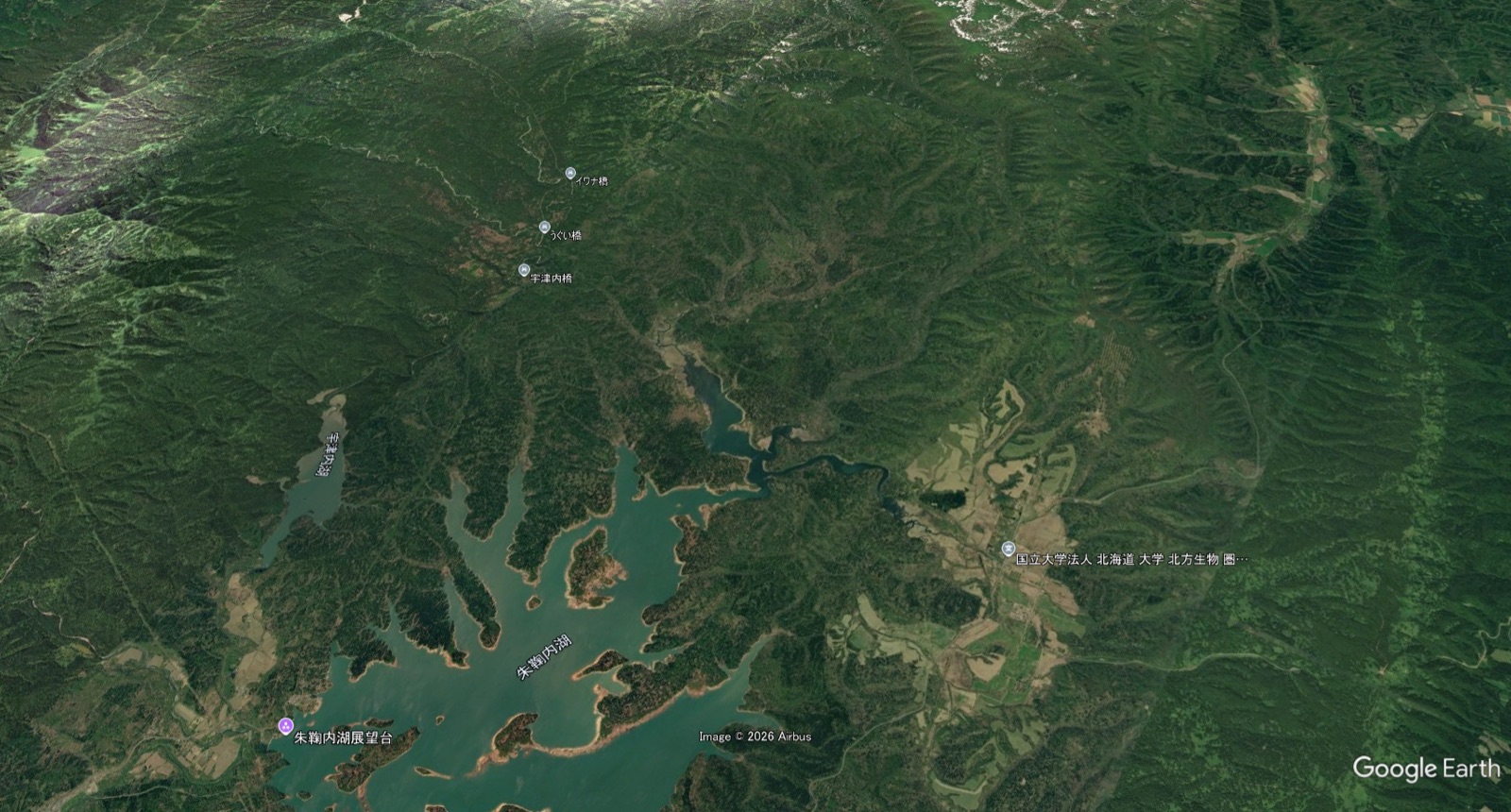
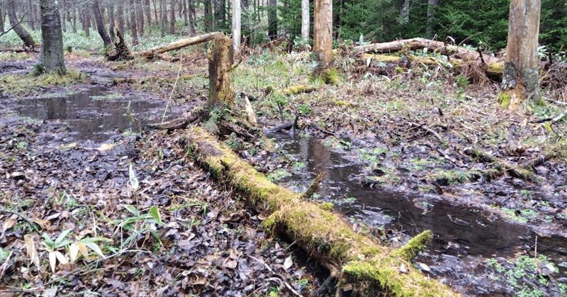
    • Hokkaido University Uryu Experimental ForestAn introduction, then a research-forest minibus into the woods. 40 years of monitoring, sasa bamboo, and a wetland forest of Sakhalin spruce. Guided in English.
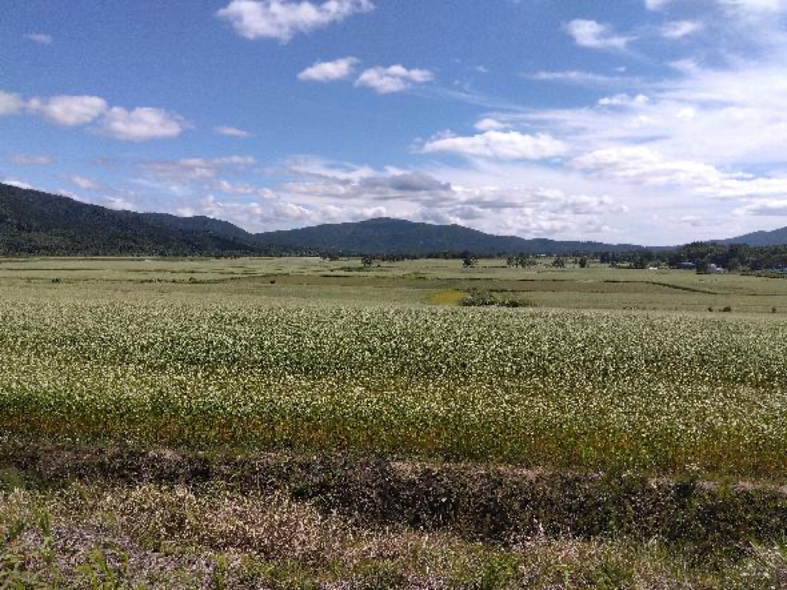
    • Soba-no-Hana Viewpoint, HorokanaiJapan's top soba-producing town. On July 5 the fields are green, three weeks from turning white.
    Forest trailMap of the Uryu areaOpen farmland
  • Closing
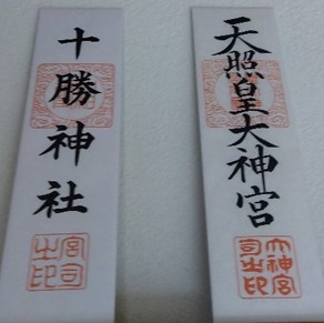
    On the way to Asahikawa Airport Satoyama is the concept of an era when people relied on the mountain behind them for fuel and fertilizer, when economic activity was part of the ecosystem. We hope you will feel modern SATOYAMA in the 21st century, a living relationship between human economic activity and natural ecosystems, and the Japanese culture of appreciating nature that still continues. Please take the Tokachi Shrine charm with you.
    Tokachi Shrine charm
Schedule is provisional and subject to change.

Boreal Forest
of Hokkaido

  • Uryu Experimental ForestAbout 25,000 ha, roughly the size of Tokyo's 23 wards. Forty years of monitoring show how dead-wood regeneration and the dwarf bamboo shape this forest under a changing climate.
  • Taushubetsu Oak ForestAt Taushubetsu you can see a boreal forest on the scale of one hundred years. The foundation manages its planted forests on a scale of several decades, and forests like Taushubetsu are the benchmark for that management.
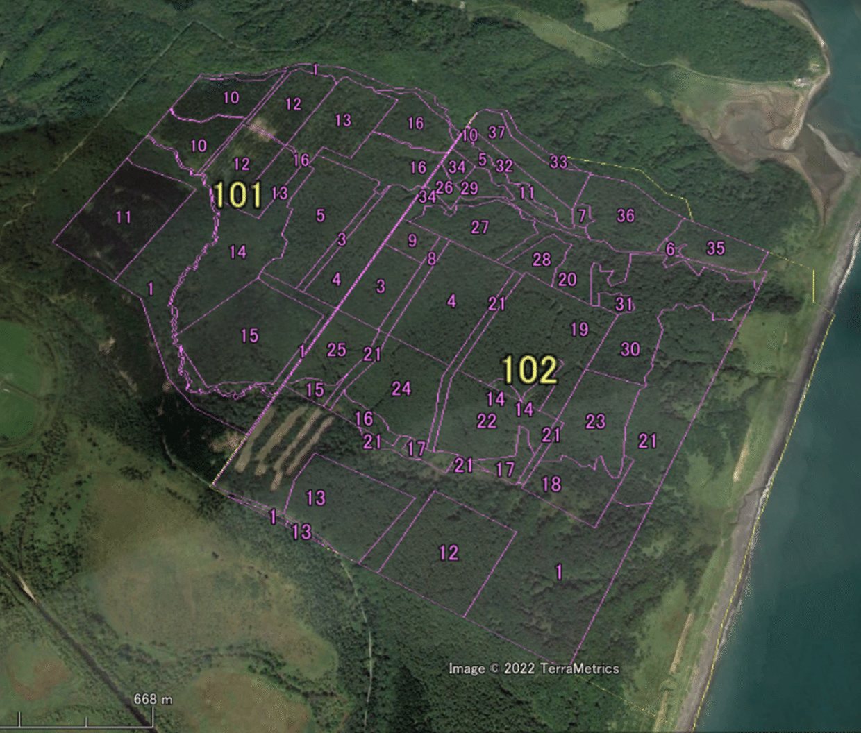
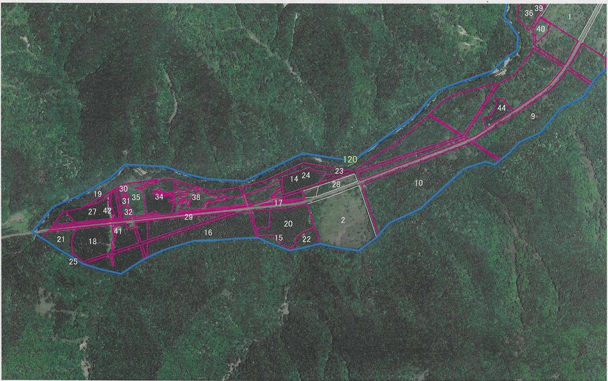
  • Manmade Forest of FumiharuThe foundation manages 450 ha in Hokkaido (Hiroo and Taiki) and Shizuoka (Hamamatsu). Forest of Seika (265 ha) and Forest of Kamitoyoi (98 ha) are certified OECM sites, planted forests managed for both timber and biodiversity. Moyori Forest (18 ha) is mostly a 120-year-old secondary broadleaf forest, where children learn how a mixed forest grows.
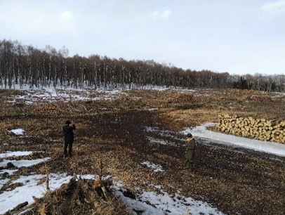
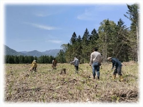
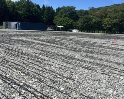
    Aerial view of Forest of SeikaWedge-shaped Forest of Kamitoyoi along the Toyoni RiverPeople walking through a cleared area of the forest

OECM site
of Fumiharu

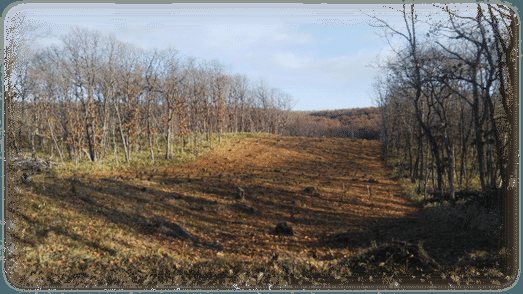
  • A mosaic of forest ages for diversityForests are laid out on a 100-year plan so that stands of different ages form a mosaic. In Forest of Seika, 30 m-wide strips are clear-cut, and about 3 ha are harvested each year. In Forest of Kamitoyoi, strips are 100 m wide. The width follows how far animals move: a mouse about 10 m, a mole 100 m, a deer 1,000 m, a bear over 2,000 m.
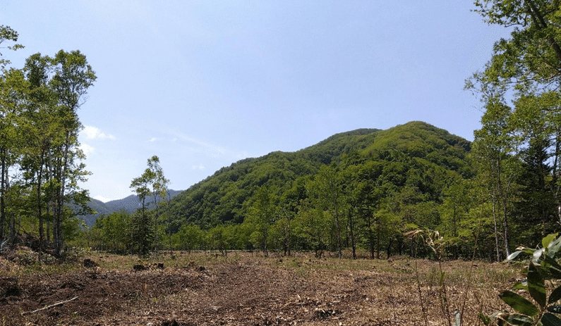
    Strip-cut mosaic in the forestA strip-cut areaView of Lake Oikamanai, the Pacific and the Hidaka Mountains opened up by a strip cut
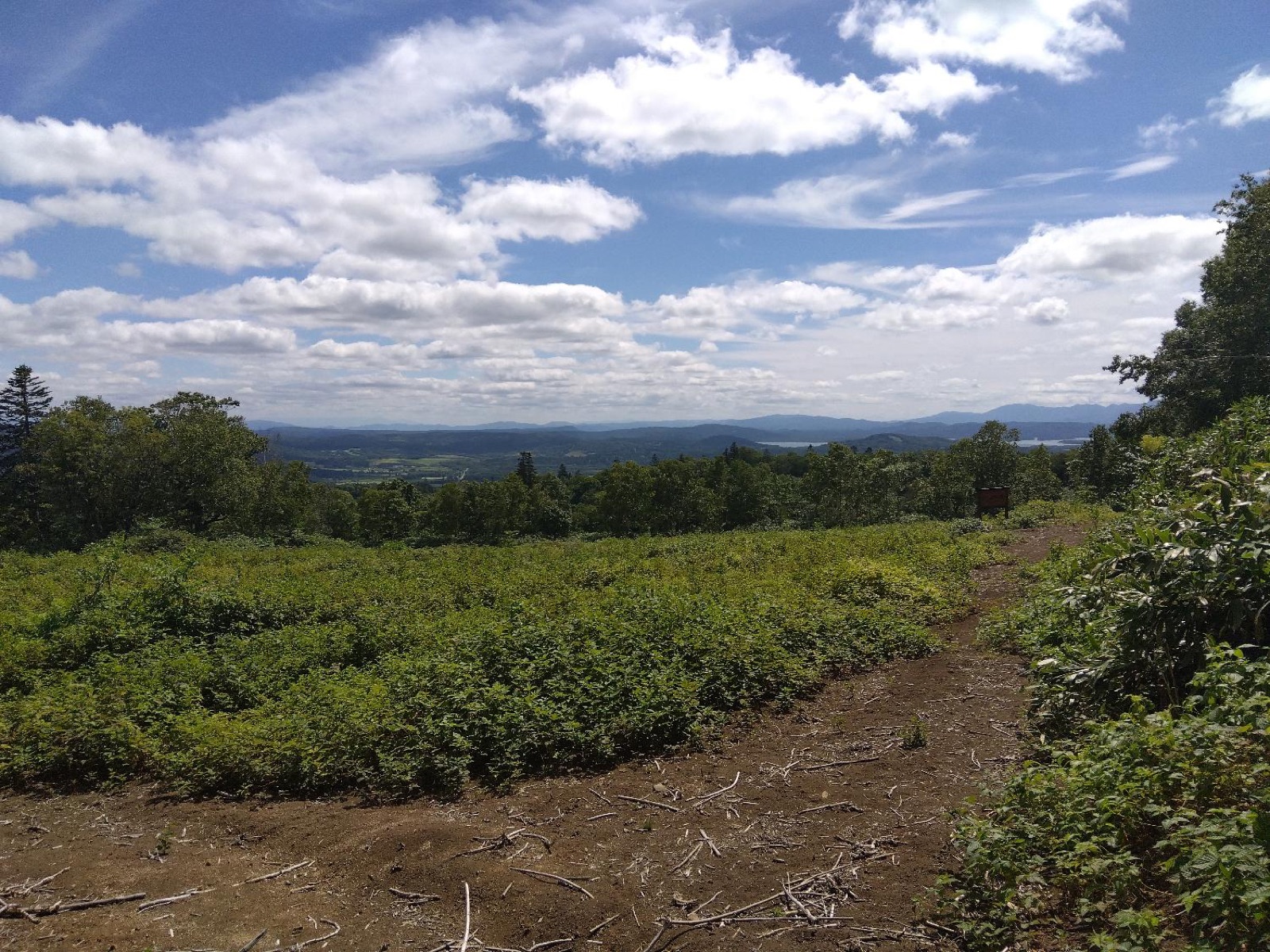
    After a strip cut opened the canopy, the Oikamanai lake, the Pacific Ocean and the Hidaka Mountains came into view. Biodiversity can be felt at the landscape level too.
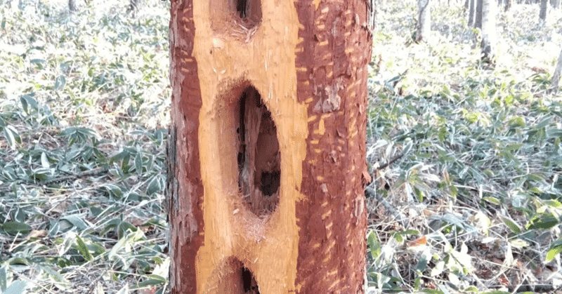
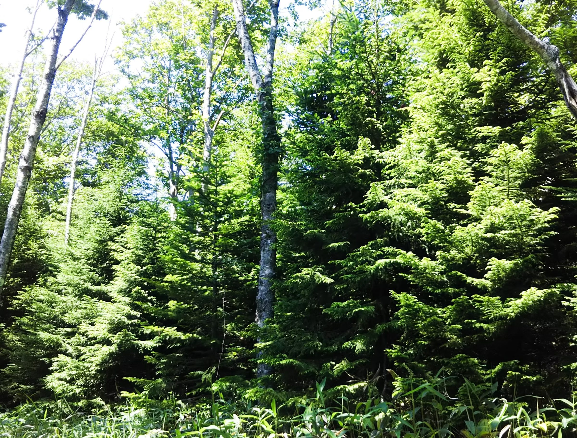
  • Retention ForestryTrees are cut, but parts of the forest are deliberately left. Old and dead trees stay for animals and birds that use hollows, such as the holes a black woodpecker drilled in a dying larch. Hollow standing trees and old windthrown trees stay too, as places for insects and moss and as cradles for seedlings. A fringe of shrubs is grown around clear-cut edges so the forest inside does not change abruptly, and broadleaf trees stay in spring-fed wetlands.
    Nest holes drilled by a black woodpecker in a dying larchA hollow standing treeAn old windthrown tree left on the forest floor
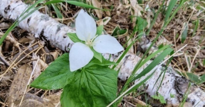
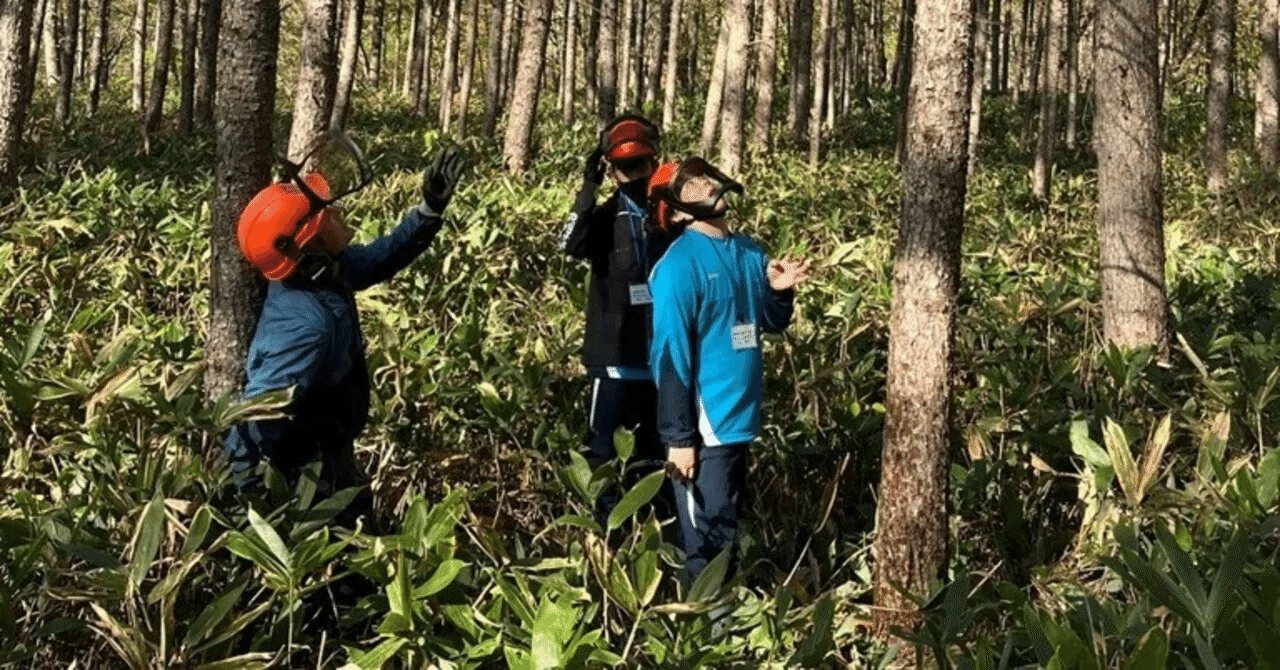
  • MonitoringThree years in the Monitoring Sites 1000 Satoyama survey: flowers and birds increased in strip-cut areas. New methods are being developed from autumn 2026 with Rakuno Gakuen University. Disturbance helps too: on a thinning road, large-flowered trillium bloomed on bare ground, and false hellebore sprouted in machine tracks, where dwarf bamboo had held them back. When thinning opens the canopy, sea eagles and white-tailed eagles come down into the forest.
    Large-flowered trillium blooming on a thinning roadStaff and researchers surveying in the forest

SEPLS
of Hokkaido

  • Horse ranchRacehorse breeding in Hidaka, where wooden fences shape the landscape.
  • Kombu drying fieldKelp beaches along Route 235 on the Pacific coast.Kelp drying beach
  • Meadow for CowsNaitai Ranch, about 1,700 ha: grassland kept open by livestock farming.Pasture overlooking the plain
  • Grain FieldUpland farming and shelterbelt forests on the Tokachi Plain.
  • Vegetable Field
  • Rice paddyPaddies on the Sea of Japan side, from Shibetsu to Kamikawa.
  • Buckwheat FieldHorokanai, Japan's top buckwheat producer.

Tour
information

  • Who can joinThis tour is for participants of IPSI-11 who arrange their own airfare. It is not an official programme of IPSI-11.
  • Group sizeLimited to 10 participants. If fewer than 10 people join, the tour will not run.
  • Price and deadlineTo be announced.
  • Meeting and dismissalWe meet on the morning of July 2 at New Chitose Airport and disperse on the evening of July 5 at Asahikawa Airport. Accommodation on July 1 is not included; the Yokohama or Haneda area is convenient.
  • Travel arrangementsTravel arrangements are made by a travel agency in Hokkaido.
  • About IPSI-11Please send questions about IPSI-11 itself (the conference, registration, accommodation and travel) to the IPSI Secretariat.

Inquiry

Questions about the schedule, the forests, the OECM sites or research collaboration are welcome from government, researchers and organizations. The foundation will reply by email.

Please send questions about IPSI-11 itself (the conference, registration, accommodation and travel) to the IPSI Secretariat, not through this form.